| Church Village | |
The 1841 census records shows us that Church Village's history as a community doesn't extend much beyond the middle of the nineteenth century. They indicate that the village only consisted of a carpenter's dwelling place and two buildings or uninhabited houses. According to the 1846 tithe map these buildings were located at the crossroads of the Tonteg to Llantrisant and Llantwit Fardre to Efail Isaf roads. During the next ten years, Church Village not only witnessed considerable development but also a change of name. |
|
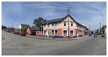
It was known as Cross Inn on the 1851 census and remained so until the end of the nineteenth century. The census also shows that the village had a total population of 91 in 14 households including a victualler, dressmaker, butcher, draper and grocer and schoolmaster. Significantly, 24 miners and 2 coal contractors are recorded as village inhabitants. Small levels and pits such as Dyhewid Colliery were beginning to appear around the village. Clearly, the growth of the local mining industry was having an impact on Cross Inn's growth and development. |
The main road - Church Village |
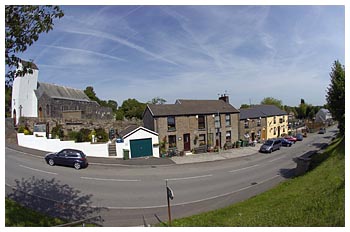 |
The following decade saw the beginnings of religious and educational institutions. A school was held in the stables near Tir Bach farm on the village's fringes. Later the school moved to a long room behind the village's public house, the Cross Inn. This room was also the venue of Welsh Baptists until a chapel was built in 1854 about a mile further at Gwaun Y Celyn. New Inn's population increase was more gradual during the 1860s. The 1861 census shows a total population of 11 living in 22 households Left: Upper Church Village |